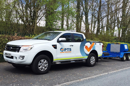
PTS offers a wide range of highway assessment surveys, with a focus on providing surveys for pavement investigation purposes.
UKPMS
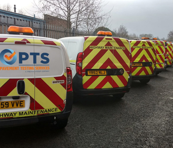
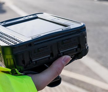
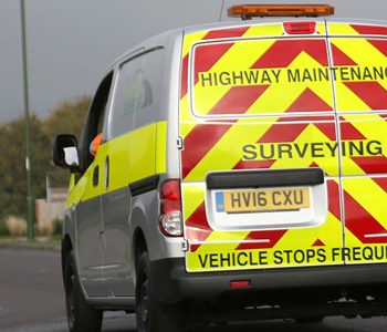
Following the acquisition of Saber (Asset Management) Ltd in 2019. PTS are now pleased to offer a full suite of accredited UKPMS condition surveys alongside our existing pavement engineering and structural surveying services. All our UKPMS surveys are conducted utilising the latest hand-held technology, our state of the art, accredited, and hugely popular survey management software ReGen, and we have a team of highly experienced, dedicated, and UKPMS accredited highways inspectors.

Airports
PTS have the capability to carry out a full airside pavement investigation covering structural, surface and friction assessments in accordance with the CAA and ICAO guidance documentation. We have extensive experience in PCN assessment and developing rehabilitation strategies. Our technicians are trained to carry out manual PCI surveys and we can carry out machine-based PCI surveys with our state-of-the art Multi-functional survey vehicle. The MFV can provide 100% survey coverage of a runway at night and in a single shift. All our surveys can be directly loaded into a PAVER management system. We also provide pavement management system support including setting-up new PAVER installations and technical support. PTS have extensive airport survey experience and have worked on many international airports including Heathrow, Gatwick, Manchester, Birmingham, and East Midlands.

